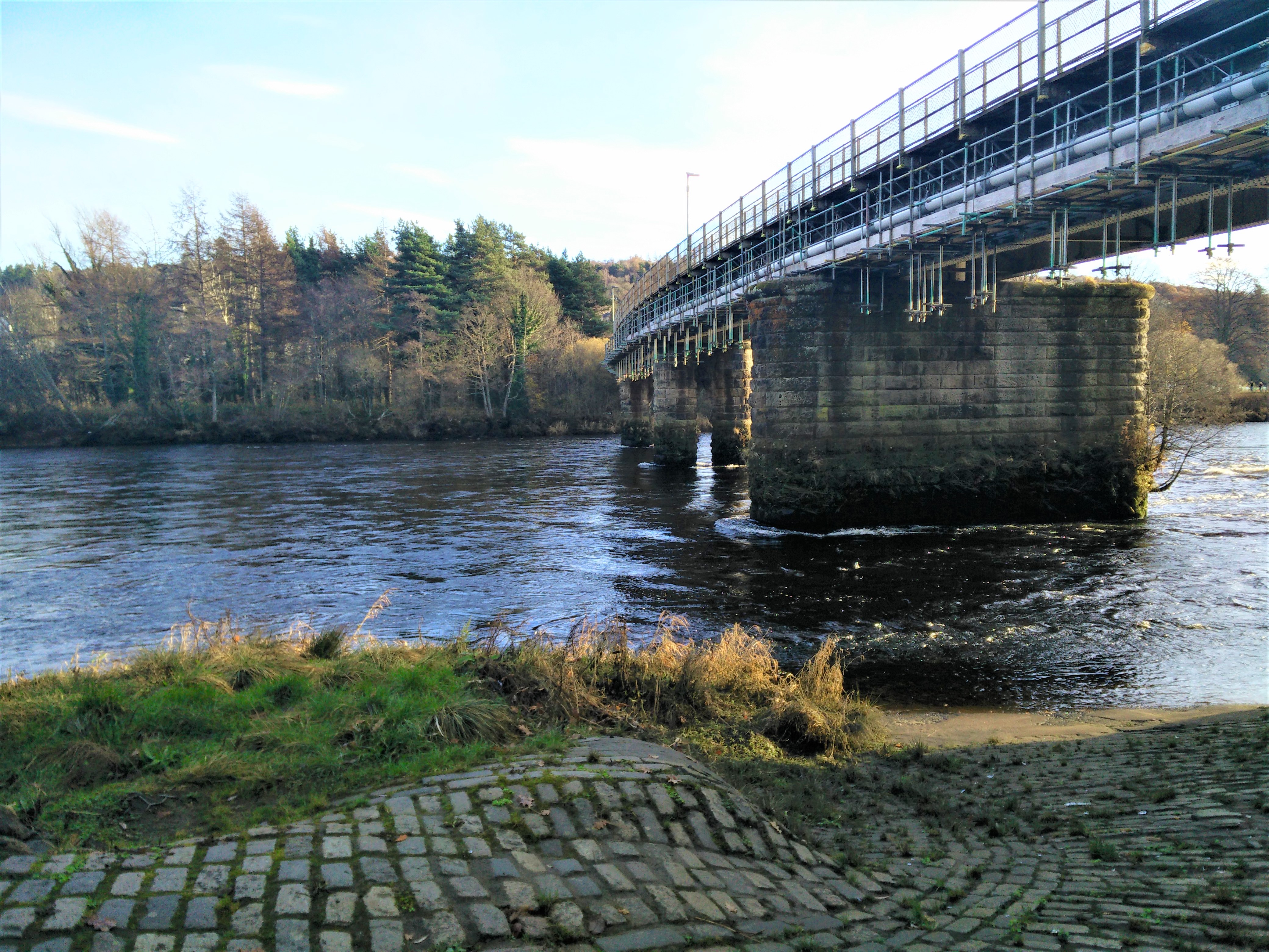
Railway Bridge
Grid reference: NO120231
Brief description: Large slipway beside the railway bridge.
Access Point
The slipway is directly to the north (upstream) of the Railway Bridge
on the city centre side of the River Tay, just off Tay Street (A989).
Where can I park? South Inch Car Park or Tay Street.
Are there any parking restrictions? Charges and time limits.
How far do I have to carry my boat from my car to the water? 20 to 200 metres.
How many cars can be parked here? Lots.
Is there space to park and turn a trailer? Yes.
Where is the nearest public toilet or publicly available toilet? South Inch Car Park (Shore Road, Perth
PH2 8HX).
Where is the nearest shop or café? Perth town centre.
Is there a bus route that I can use as a shuttle? Buses from the centre of Perth to outlying parts of the canoe trail.
Other
If this location is busy, where should I go instead? Perth Water Sports Club.
What else do I need to know? When the water level in the River Tay is high the flood defence gates at
the top of the slipway are sometimes closed.
Ownership? Perth and Kinross Council own the slipway.