Mudflats
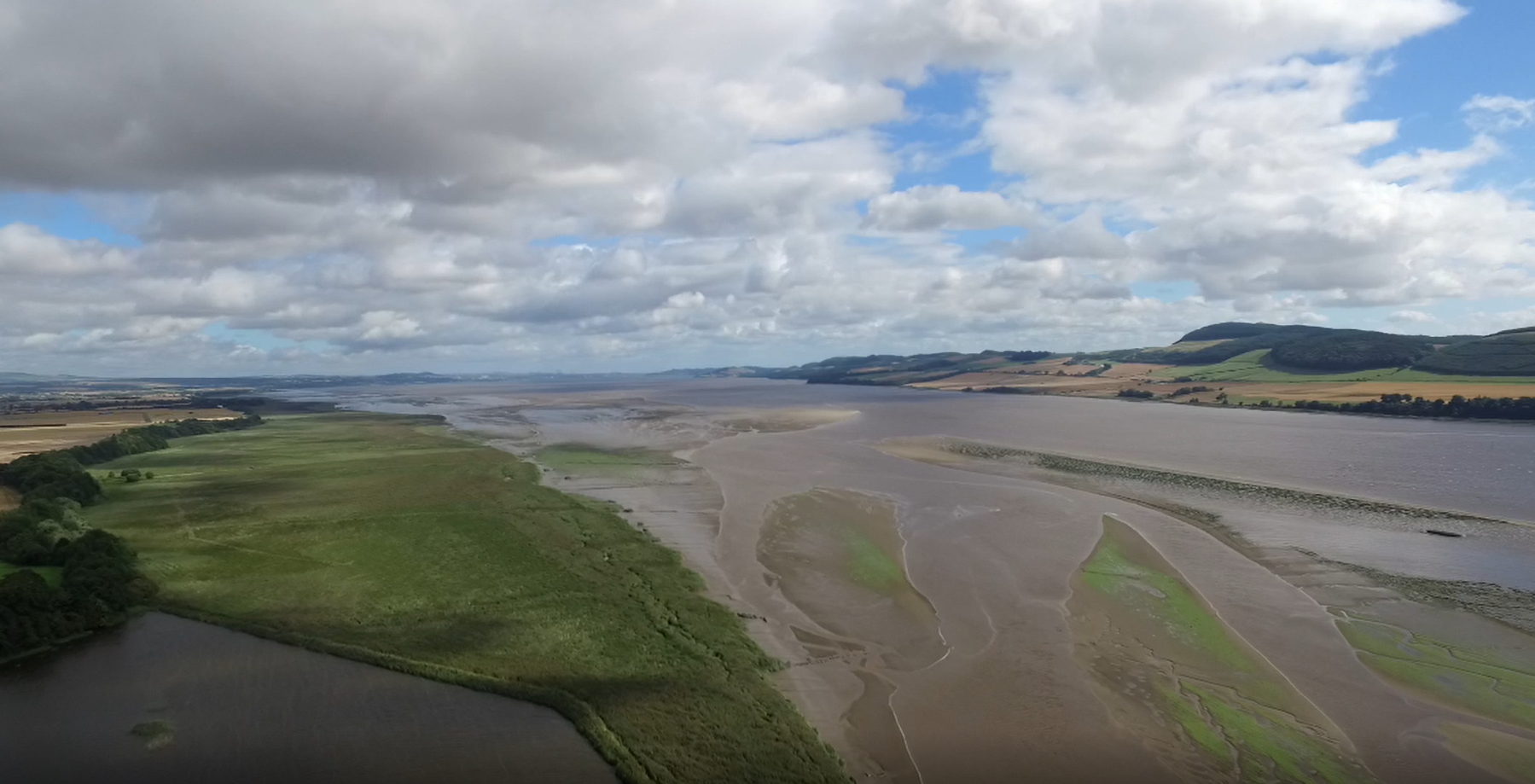
Mudflats and reedbeds on the lower reaches of the Tay. (Credit: Open Virtual Worlds)
The lower stretches of the canoe trail, from Cairnie Pier (NGR, NO196191) down to Newburgh (NGR, NO230185), contain a series of dangerous mudflats. Paddling in the area between Cairnie Pier and Newburgh during a falling tide is potentially hazardous. The northern side of the estuary is particularly unsafe.